Topic 1: Introduction to Drones in Agriculture
1. Drones in agriculture
1.2. Basic photography
At its simplest, most drones on the market today are nothing more than a flying camera. This can be a valuable tool for any farm environment. Using the on-board camera to deliver real time geo located images (both still and video) of your property can replace the need to move across the landscape to monitor and assess. Things such as:
- water and irrigation stations
- Irrigation pumps and dams
- fencing and farm infrastructure,
- weather damage
- plant count and identification
- stock management.
- feed troughs and distribution
- feral animal damage
- crop yield
These are all activities that can be observed by images from the drone.
Complimentary to the fast-paced advancement in the physical hardware of drone devices has been the growth and innovation of business-related software and applications. As useful as a simple set of photographs or videos from a drone may be, the real value comes when these images are processed into other outputs or products. Software houses have developed software that can process your images into a valuable set of outcomes. They can create stitched or orthostatic views merging many images into one for a large high def view of a location. They can process these images to form 3D terrain models as well as geo located height maps. With special filters or purpose-built multispectral cameras, applications are available to create colour maps indicating plant and crop health as well as soil and irrigation issues.
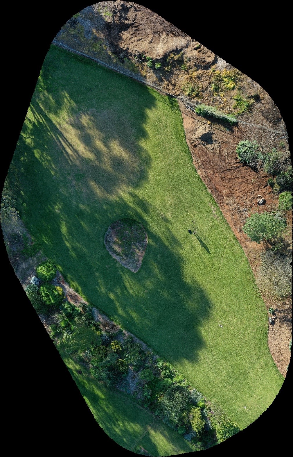
An example of a golf fairway area at Urrbrae using different cameras and processing.
Orthostatic
view: Stitched image combining several HD images
Drone: DJI Mavic Pro 2
Camera: Hasselblad
Processing Software: Maps Made Easy
Image license: TAFESA
Check your knowledge using the quiz below.