Topic 1: Introduction to Drones in Agriculture
2. Early detection and timely prevention
2.1. Measure plant health and identify crop stress
The key to mapping plant health is to understand that healthy plants reflect light differently to stressed or unhealthy plants.
Light can be broken down into different colour bands or wavelengths. You can see this visible spectrum when white light is projected through a prism. Just like a rainbow.
There is another wavelength that sits just outside this visible spectrum called near infrared. By understanding how plants reflect or absorb this light it is possible to get an indication of the plant’s health.
Plants that are healthy reflect more green light than red and reflect more near infrared. Unhealthy plants absorb far more near infrared. By detecting this separation, a calculation can be made, and a value assigned to each area. This index value is referred to as NDVI or Normalized Difference Vegetation Index.
To find out more you can click on the URL link below.
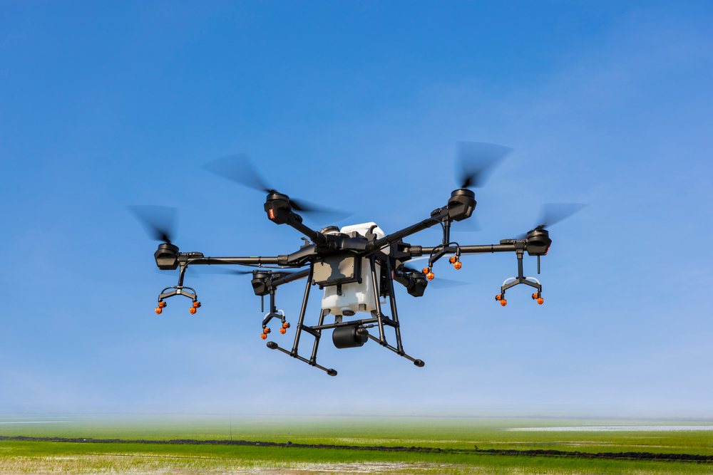
Image used
under license from Shutterstock.com
This technology has been established for some time and was first applied at a large scale in 1972 with the Landsat satellite. Large continental and state images of vegetation health have been available for ag management across the world. The advantage to farmers now is that this technology is available at your local level and can be focussed on just your patch.
Look at this website by clicking on the URL link below to see examples of Normalized Difference Vegetation Index (NDVI)
https://gisgeography.com/ndvi-normalized-difference-vegetation-index/
For a farmer or farm manager to use this NDVI index they would need the appropriate camera system to capture the different bands of reflected light. Standard cameras have a filter to stop the near infrared affecting the colour of the pictures. Purpose built multispectral cameras are available that are designed to allow this light through. These images are them processed through specific software applications to produce a colour map of your crop or field. Colours range from green being healthy, to red being stressed. Though these images are only an indicator, they can be an excellent way to assess a large area and focus on particular areas of concern. Using this process is easy and can give access to a series of images over a period to give a progressive view of your environment. Using this approach can indicate other issues in your environment as well such as irrigation issues, invasive weed activity, soil condition and new crop growth.
To find out more about things to know about NDVI click on the URL link below.
(Normalized Difference Vegetation Index) [2.24]