Topic 1: Introduction to Drones in Agriculture
3. An aerial view of your land
3.1. Make informed decisions about your environment
Getting a new view or perspective of your property may present new opportunities to your business. As we have discussed, photography can be used in a variety of ways to present different outcomes from the same image set from the same flight. Aerial photography is a powerful tool and can be used for a variety of outcomes to the user. One challenge is that drones used in large environments are limited in the amount of landscape they can capture in each single image. This problem is overcome by using a series of overlapping images and having them digitally stitched together to produce a wider single orthostatic view. These merged views combine a series of high-definition picture to form one image. This helps analyse your environment without flicking image after image.
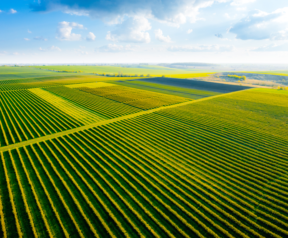
Image used
under license from Shutterstock.com
There are a variety of software products and services that can do this. Farmers who do not have a lot of flight training can take advantage of software that can help with mission flights. These are flights that are setup across a defined area in advance. The drone flies in a specific grid pattern, takes the photos at intervals and returns home when the mission is complete. These larger images are excellent for a broader evaluation of your property. They can be used for vegetation calculations, orchard mapping, and forest analysis as well as creek and erosion changes. They can also be helpful as before and after images to analyse changes over time. As the drone is not hampered by boggy or hard to access terrain, the drone images can give a live view of the state of your property. This could be particularly useful after major weather or fire events.
To see before and after images showing the scale of bushfire devastation click on the URL link below.
https://www.theguardian.com/australia-news/2020/jan/17/before-and-after-images-show-scale-of-bushfire-devastation
Advanced GPS systems on many drones enable GEO located photo formats such as .TIFF to have GPS location information imbedded in file. These photos can be exported into advance GIS (Global Information Systems) applications such as ArcGIS or QGIs for more advanced mapping, surveying, and area management.