
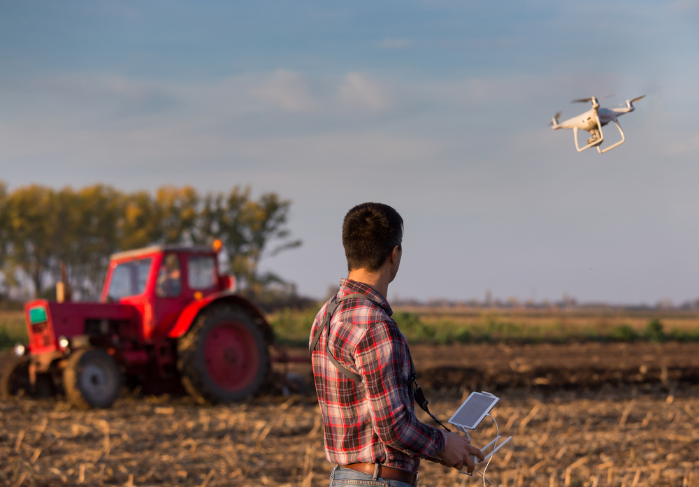
1. Introduction
1.3. Using different cameras
The following pics are the same space using different cameras and
processing. They are an example of a golf fairway area at Urrbrae and show a
site of images using different cameras and processing.
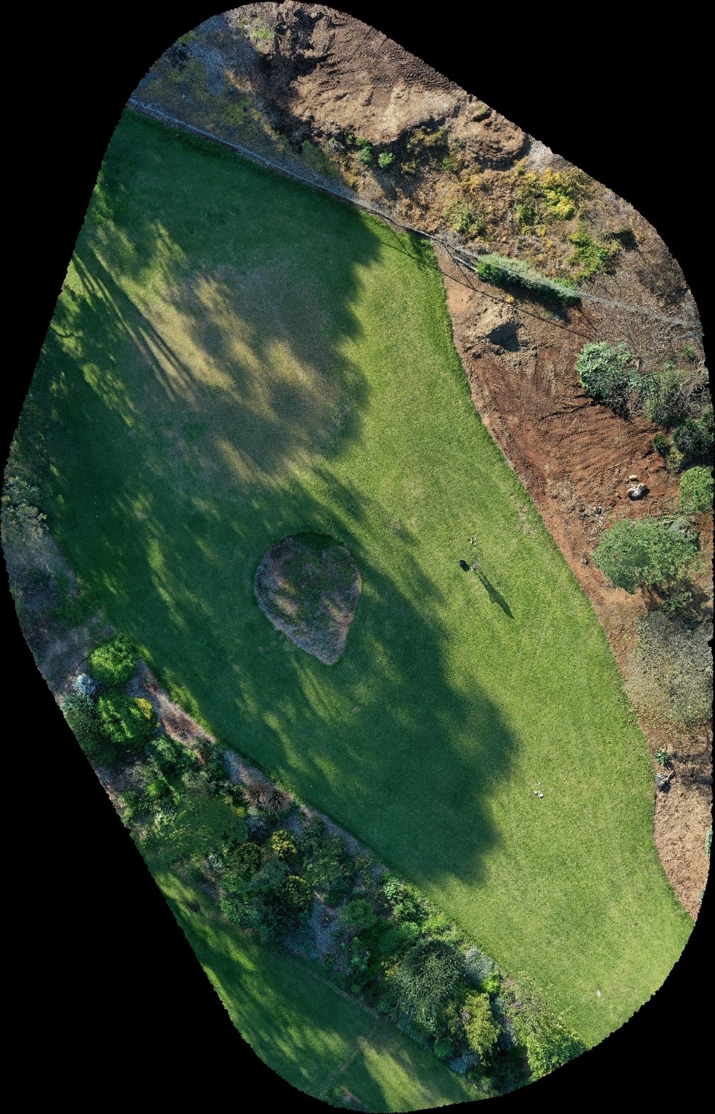
Orthostatic
view – Stitched image combining several HD images
Drone: DJI Mavic Pro 2
Camera: Hasselblad
Processing Software: Maps Made Easy
Image license: TAFE SA
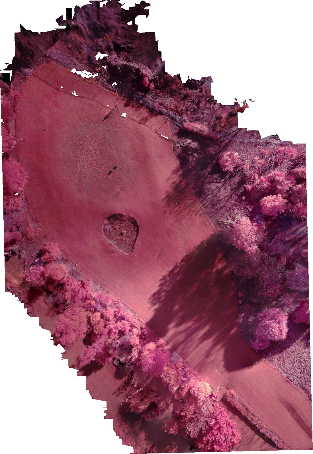
NIR – Stitched image combining several near infrared images
Drone: DJI Mavic Pro 2
Camera: AgroCam (additional mount under drone)
Processing Software: AgroCam cloud processing
Image license: TAFE SA
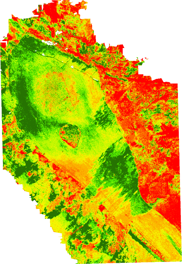
NDVI – Processed colour map
Drone: DJI Mavic Pro 2
Camera: AgroCam (additional mount under drone)
Processing Software: AgroCam cloud processing
Image license: TAFE SA
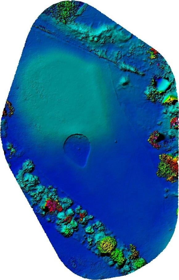
DEM – Digital Elevation Model is a height colour map with dark blue being the low areas through to red being highest
Drone: DJI Mavic Pro 2
Camera: Hasselblad
Processing Software: Maps Made Easy
Image license: TAFE SA