
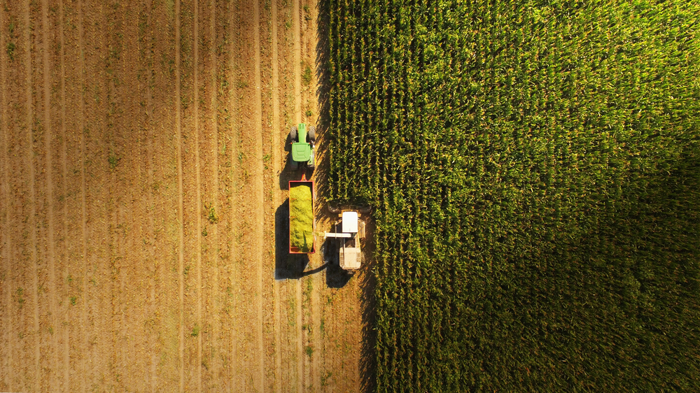
3. An aerial view of your land
3.2. Using photogrammetry form your flight images
One area that is increasingly being used in land management and mining is surveying with drones. With the right flight path and similar set of images you can create detailed 3D models and height maps of your environment. This can be useful to understand slopes, water movement and erosion points on your property. Also, terrain damage such as goat tracks, vehicles, and rabbit warrens.
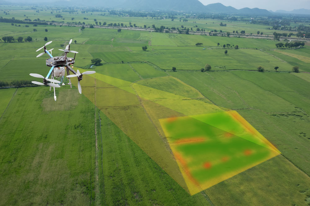
Image used
under license from Shutterstock.com