
3. An aerial view of your land
3.4. What is Lidar
Lidar is a method for determining
ranges by targeting an object with a laser and measuring the time for the
reflected light to return to the receiver.
Lidar is a type of mapping technology that is gradually becoming available on drones. They require larger or specialist aircraft to use however like a lot of products in this space they are becoming more accessible. The main advantage for the use of Lidar is it is better at mapping terrain with vegetation. The fast-spinning laser can fire through the gaps in leaves, bounce off the ground and back. In some surveying and mapping projects this accuracy would be required. For the general farmer it may be the type of service you would outsource, however it is a technology that is developing and may become more useful than just terrain mapping.
For more information about drone photogrammetry vs. LIDAR and what sensor to choose for a given application click on the URL link below;
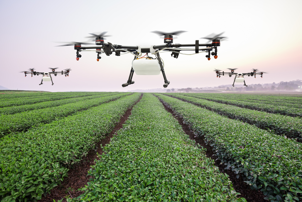
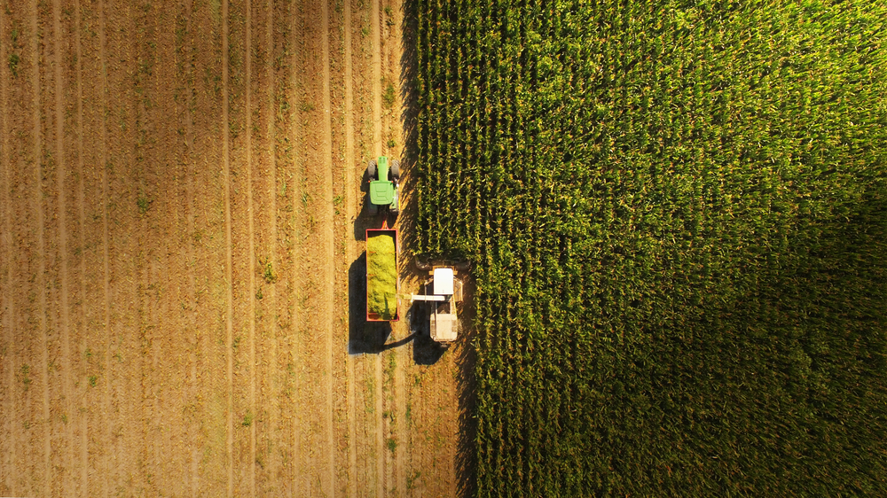
Image used
under license from Shutterstock.com
Check your knowledge using the quiz below.