
1. Drones in agriculture
The recent growth in the ag-tech industries is altering the way agriculture organisations are managing their businesses. The ability to gather, monitor and analyse critical data is now forming a vital component of the farming landscape. Recent advancements in Drone technology and applications have begun to alter the way organisations approach their business operations.
There’s a long history of air-based systems being used as a compliment to farm operations. Satellite imagery has been used for large scale crop and soil analysis as well as weather and climate monitoring. Both fixed wing and helicopters are widely used for aerial photography, mapping, pest control and herd management. The advent of drone technology is allowing farmers and farm managers to deliver a more localised and timely set of outcomes at a lower cost.
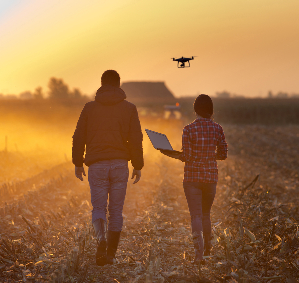
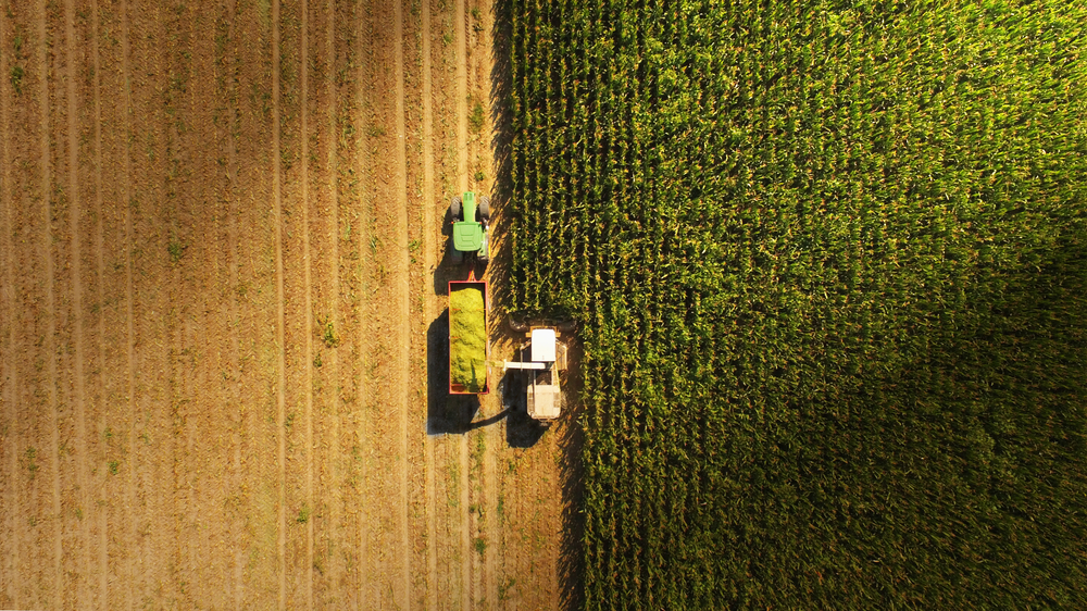
Image used
under license from Shutterstock.com
View drone imagery versus google maps by clicking the URL link below:
https://www.theaeroscout.com.au/2016/06/drone-vs-google-imagery.html